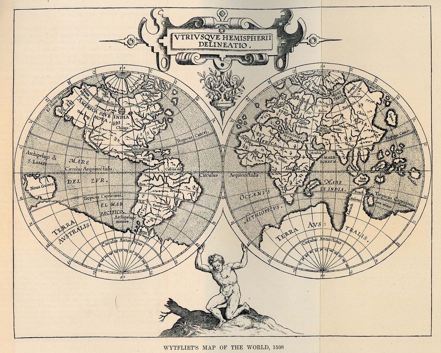
To me and no doubt to others, maps are the quintessential basis for travel. They are the traveler's braille, filling in the gaps of an unseen world that is speculated to exist beyond innumerable barriers--be they subdivisions, vast oceans or mountain peaks.
More importantly, perhaps, the customization (rather than the actual creation) of accurate maps for personal use has become commonplace in the digital age. A tepid revolution to many who enjoy charming yet cumbersome paper maps, even the best atlas seems to be become dated all too quickly in today's turbulent political climate. As much as I admire the Mercator projection that hangs on my wall, the fact that it still shows off Yugoslavia like cubic zirconia at a De Beers luncheon suggests that the time has come to redecorate my bedroom wall.
Google is the most obvious culprit with regard to digital mapping, allowing for the customization of their own mapping software with simple markers and waypoints. Where cartography was once the province of skilled experts comfortable with occasional guesswork and artistic license, the individual is now free to adapt maps of any scale to their own surroundings for specific purposes and may expect them to be reasonably accurate.
I've begun to experiment with this phenomenon myself, and it lends itself well to my upcoming travel plans. For the time being, I invite you to view the first American leg of my trip (from Bloomington, IN to Los Angeles) simply rendered in Google maps with the promise of more renderings to come:
View Bloomington to Los Angeles in a larger map
Saturday, August 7, 2010
Subscribe to:
Post Comments (Atom)


No comments:
Post a Comment